
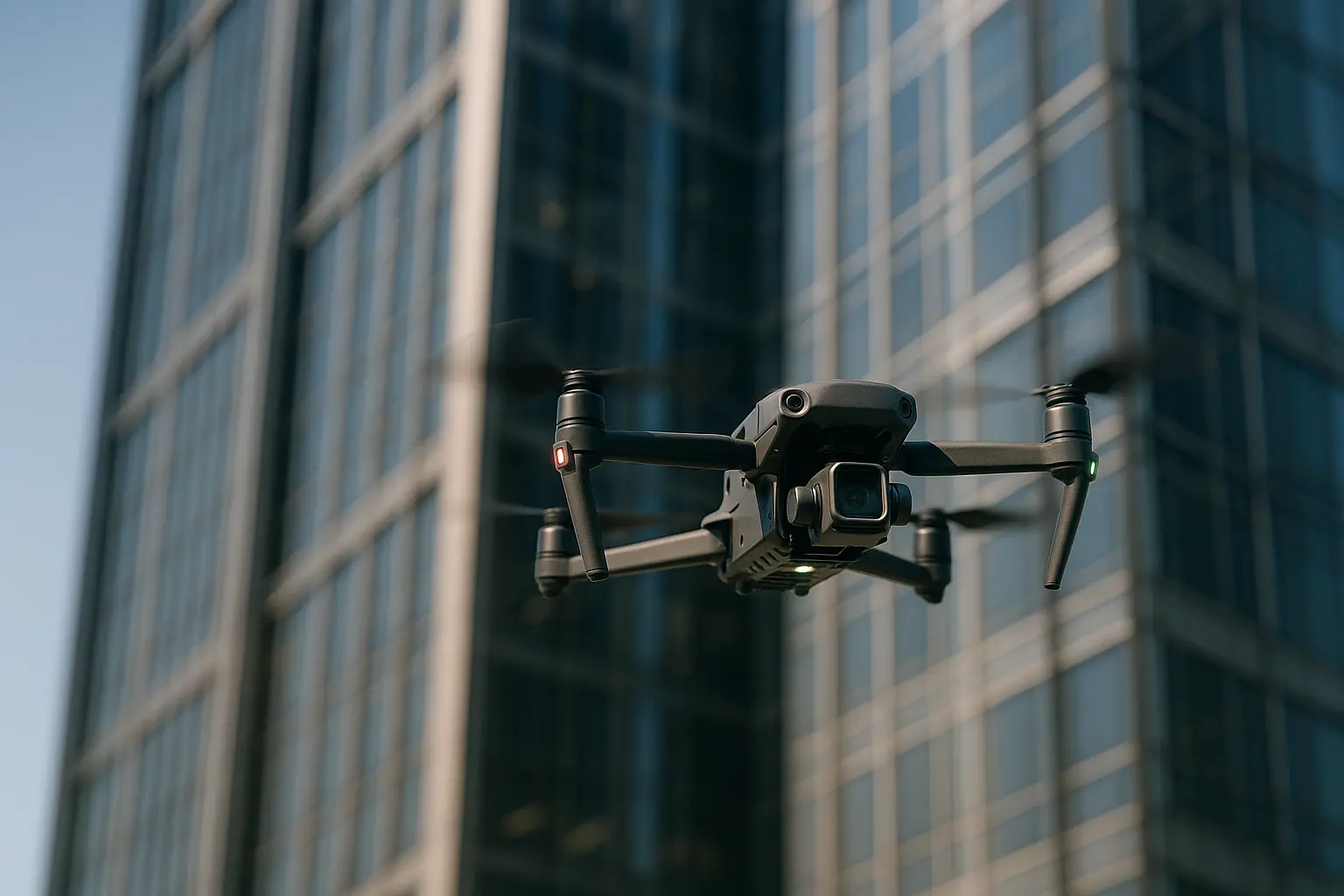
A drone inspection is often bought as a way of avoiding scaffolding. It is better understood as a survey method with its own rules, its own paperwork and a set of defects it will never find.
Before commissioning a flight
- Define the defect you are looking for. It determines the sensor, and the sensor determines everything else.
- Confirm the operator’s authorisation, insurance and airspace clearance in writing.
- Agree the deliverable: annotated imagery, orthomosaic, 3D model, thermal report, or all four.
- Plan the follow-up. A drone finds candidates for close inspection, it does not close them out.
What the sensors actually see
The payload is the whole decision. Choosing it from the defect you expect, rather than from the price list, is what separates a useful survey from a folder of aerial photographs.
High-resolution visible imagery
The standard payload, and the one that covers cracking, spalling, displaced tiles, blocked gutters, corrosion and sealant failure. The governing parameter is ground sample distance, meaning how much real surface each pixel covers. Resolving fine cracking requires flying close with a long enough lens, which in turn tightens the wind and airspace constraints, so a specification that asks for hairline crack detection over an entire tower block is asking for a much longer flight than a general condition survey.
Thermal imaging
Thermal cameras reveal what visible light cannot: moisture in insulation, thermal bridging, missing insulation, and overheating electrical connections on rooftop plant. The result depends entirely on conditions, because a thermal survey needs a temperature differential across the element being inspected. Early morning or shortly after sunset, in dry weather, gives usable data. The same flight at midday in summer usually does not.
Photogrammetry and LiDAR
Overlapping images processed into an orthomosaic and a 3D mesh give a measurable record of the whole structure, which is what makes year-on-year comparison possible. LiDAR adds accurate geometry through vegetation and in poor light, at a higher cost, and earns its place mainly on infrastructure and terrain rather than on a building facade.
| You are looking for | Payload | Condition that decides the result |
|---|---|---|
| Cracking, spalling, corrosion | High-resolution visible camera | Standoff distance and even lighting |
| Damp, missing insulation, heat loss | Radiometric thermal camera | Temperature differential, dry surfaces |
| Measurable condition record | Photogrammetry, structured flight plan | Image overlap and ground control |
| Geometry through vegetation or in low light | LiDAR | Budget and processing capability |
| Confined spaces, tanks, ducts, voids | Caged indoor drone with lighting | No satellite positioning, pilot skill critical |
Regulation comes first, not last
Professional drone operation is regulated by the civil aviation authority of the country where the flight takes place, and the framework is not interchangeable between regions.
In the European Union, operations fall into the open, specific and certified categories. Most inspection work over or near buildings and people exceeds the limits of the open category and lands in the specific category, which requires an operational authorisation issued by the national aviation authority, obtained either through a predefined risk assessment or a standard scenario, or through a full SORA risk assessment. Drones operated in the specific category have required a remote identification system since 1 January 2024.
In the United States, commercial operations run under Part 107, which requires the aircraft to remain within visual line of sight. Flights beyond visual line of sight currently need a waiver. The FAA published a notice of proposed rulemaking for a new Part 108 framework intended to normalise those operations on 7 August 2025, and as of mid-2026 the final rule has not been issued. In the United Kingdom, the equivalent authority is the CAA, with its own categories and permissions.
For a client, this translates into three checks before anyone flies: the operator’s authorisation for the category of operation planned, third-party liability insurance, and any site-specific clearance such as proximity to an airport, a restricted zone or a rail corridor. Add data protection: imagery captured over residential areas can contain personal data and falls under the applicable privacy regime. Rules change, and this article is general information rather than compliance advice, so confirm the current requirements with the relevant authority for your jurisdiction.
What a drone will not tell you
The honest limits matter as much as the capabilities. A camera reads surfaces, so anything happening behind one stays invisible: delamination that only hammer tapping reveals, the condition of a fixing behind a cladding panel, the state of an embedded reinforcement bar, the actual adhesion of a render. Structural assessment still requires a competent engineer and, usually, contact testing on the areas the survey has flagged.
Practical constraints apply too. Wind limits ground flights more often than rain does, particularly around tall buildings where turbulence is worse than the forecast suggests. Positioning becomes unreliable close to large metal structures and inside buildings. And a large photogrammetric survey generates data volumes and processing time that need budgeting alongside the flight itself.
How a survey should be run
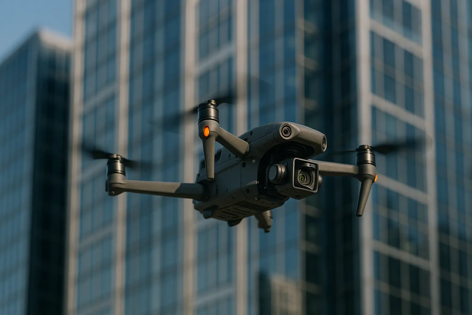
- Write the brief around the defect. Condition survey, post-storm damage assessment, thermal audit and dilapidation record are four different flights.
- Check authorisation, insurance and airspace before agreeing dates, since the clearance often sets the timetable.
- Pick the conditions. Thermal work needs a differential and dry surfaces. Visible-light work needs even light, which means avoiding harsh midday shadow on a facade.
- Fly a planned grid, not a free flight. Structured coverage with consistent overlap is what makes the output comparable with next year’s survey.
- Agree the deliverable format in advance, including whether defects will be annotated and located on a plan rather than simply photographed.
- Close out on the ground. Use the findings to target close inspection, then record what was verified and what was ruled out.
Used this way, drones fit into the wider shift towards robotic and automated methods in the built environment, where the machine gathers the evidence and the professional still makes the judgement.
Questions clients ask
How often should a facade be surveyed by drone?
Frequency depends on the asset, its age, its exposure and any statutory inspection regime that applies to it. What drone survey changes is the cost of doing it more often, which makes an annual comparable record realistic for buildings that were previously inspected only when a problem appeared.
Can a drone survey replace a statutory structural inspection?
No. It informs one. Where an inspection regime is mandated, the required competence and method are defined by that regime, and aerial imagery is supporting evidence rather than a substitute.
Is it cheaper than scaffolding or rope access?
Generally yes for the inspection itself, and the saving grows with the height and complexity of the structure. The comparison should include processing and reporting time, and the fact that any defect confirmed still needs physical access to repair.
What happens with poor weather on the day?
The flight moves. Build a contingency date into the programme rather than pressing a marginal window, because imagery captured in unsuitable conditions produces a report nobody can rely on.
Looking at drones beyond inspection?
The same aircraft and processing chain also serve mapping and site documentation across property portfolios.