
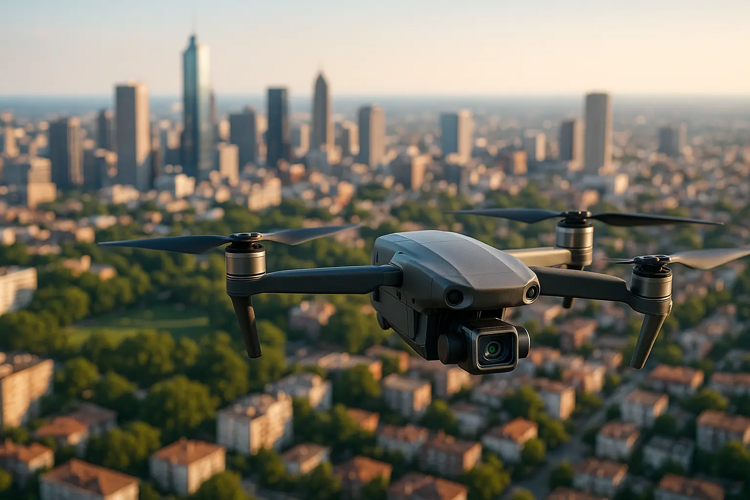
A drone flight over a property produces two things that look similar on screen and behave very differently in a transaction: pictures that sell, and measurements that someone may later rely on. The first is straightforward. The second carries an accuracy figure and, in many jurisdictions, a licensing question attached to whoever puts their name on it.
What to settle before the flight
- Decide whether the output is illustrative or measurable, because the two briefs are not the same flight.
- Accuracy follows ground sample distance and ground control, not the price of the aircraft.
- Boundary and area figures used for legal or engineering purposes normally require a licensed surveyor to certify them.
- Flight rules are national, and the operator carries the compliance burden, not the client.
Two jobs, one aircraft, different briefs
Marketing imagery answers a question about context. It shows how a plot sits against its surroundings, how a roofline reads against a treeline, how far the parking actually is from the entrance. It is judged on light, framing and edit, and the technical requirement is modest.
Mapping is a different exercise. A photogrammetric survey flies a planned grid at a fixed altitude with heavy image overlap, then reconstructs a geometrically consistent model from hundreds of frames. The output is an orthomosaic, a distortion-corrected image on which distances can be measured, usually accompanied by a digital surface model and a point cloud. Those are engineering deliverables that happen to look photographic.
Confusing the two is how disputes start. A cinematic pass over a site produces beautiful frames on which nothing can be measured reliably, because the geometry was never controlled. Being explicit in the brief about which product is wanted is the single cheapest risk control in this whole field.
How accurate a drone map actually is
Accuracy starts with ground sample distance, the real-world size that one pixel represents, which is a function of flying height and camera. Everything downstream is expressed as a multiple of it. Pix4D, whose photogrammetry software is widely used for this work, publishes the working rule that a correctly reconstructed project shows a relative accuracy in the order of one to three times the GSD, and that a properly georeferenced project reaches an absolute accuracy of roughly one to two times GSD horizontally and one to three times GSD vertically.
Two consequences follow, and they are the ones clients tend to find counter-intuitive. First, absolute accuracy can never exceed relative accuracy: adding survey-grade positioning to a poorly flown project does not rescue it. Second, an aircraft with onboard RTK positioning knows where the camera was, which is not the same as knowing where the ground is. Independent ground control points, surveyed on site and visible in the imagery, remain the mechanism that ties a model to real-world coordinates and, just as importantly, the checkpoints that prove it worked.
| Deliverable | Typical use in real estate | Accuracy expectation | Who signs it off |
|---|---|---|---|
| Stills and video | Listing, context, marketing | Not applicable | The pilot or agency |
| Orthomosaic | Site plans, indicative dimensions | Stated as a multiple of GSD | Pilot, with a stated method |
| Surface model, point cloud | Feasibility, earthworks, design input | Depends on ground control | Usually a surveyor for design use |
| Boundary or area figure | Contracts, planning, disputes | Set by professional standards | Licensed land surveyor |
Where mapping stops and land surveying begins
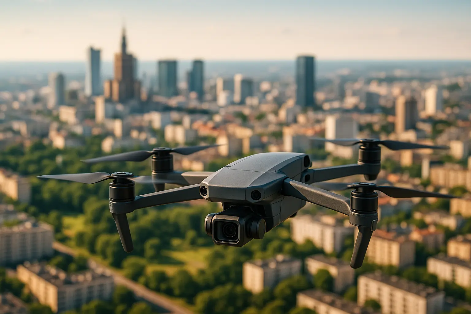
This is the part of the subject that gets treated as a technicality until it is not. In most United States jurisdictions, boundary and topographic deliverables used for legal or engineering purposes must be certified by a licensed professional land surveyor, whatever method was used to collect the data. An unlicensed operator may fly and process; only the licensee can certify the result.
The distinction turns on purpose rather than on equipment. Tying points to a coordinate system for master planning, concept design or visualisation generally sits outside the licensed activity. Doing the same for construction documents, final design or a property boundary does not. Professional guidance in the sector notes that language matters as well: words such as acreage, area, dimension, contours or coordinates in a scope of work signal a deliverable that a licensee should be responsible for. Requirements differ by state and by country, so the position of the relevant licensing board is what governs a particular job.
Questions that decide the brief
Can a drone map replace a boundary survey?
No. It can produce a highly detailed picture of what is physically on the ground, which is useful and often revealing. A boundary is a legal determination based on title, monuments and evidence, and remains the work of a licensed surveyor.
Is LiDAR necessary, or is photogrammetry enough?
Photogrammetry is sufficient for most real estate work and considerably cheaper. LiDAR earns its cost mainly on vegetated sites, where it can return points from the ground beneath a canopy that a camera simply cannot see.
What is a realistic turnaround?
The flight is short and the processing is not. Expect the imagery within a day and the measurable deliverables a few days later, since reconstruction, ground control and quality checking take longer than the flying.
Does aerial imagery create a privacy exposure?
It can, where imagery captures neighbouring properties or identifiable people. In the European Union that engages data protection law, and the practical answers are planning the flight lines, framing tightly and blurring what is not part of the instruction.
The flight itself is regulated, and the rules are national
In the European Union, Regulation (EU) 2019/947 places most property work in the open category, split into three subcategories. A1 covers aircraft under 900 g in the C1 class with no flight expected over uninvolved people. A2 covers aircraft under 4 kg in the C2 class, requires a certificate of competency, and imposes a horizontal distance of 30 m from uninvolved people, reducible to 5 m with the low-speed function active. A3 covers aircraft up to 25 kg and requires 150 m of horizontal separation from residential, commercial, industrial and recreational areas. Across all three, flight stays below 120 m above ground level, the operator registers, and the remote pilot is at least 16 years old.
In the United States, flying in furtherance of a business requires a remote pilot certificate under Part 107, and Remote ID broadcast capability is now a standard requirement for the aircraft in scope. Neither framework is a substitute for the other, and urban property work frequently sits close enough to the boundaries of the open or routine categories that the operator should be able to explain, in writing, which rule set the flight was planned under.
The mapping outputs rarely stop at the property file. Point clouds and surface models are increasingly imported as existing-conditions data into a design model, which is where this work connects to building information modelling and why it matters.
Beyond marketing and mapping
The same aircraft, fitted differently, is now doing condition work on facades, roofs and infrastructure.
Published in 2025. Updated on 13 August 2026. Sources: Regulation (EU) 2019/947 and EASA open category guidance; FAA Part 107 and Remote ID requirements; Pix4D documentation on relative and absolute accuracy. Drone and surveying rules are jurisdiction-specific; this article is general information and not a substitute for the applicable national regulation or professional advice.